GRIDINT RESEARCH · DATA HUB
World events.
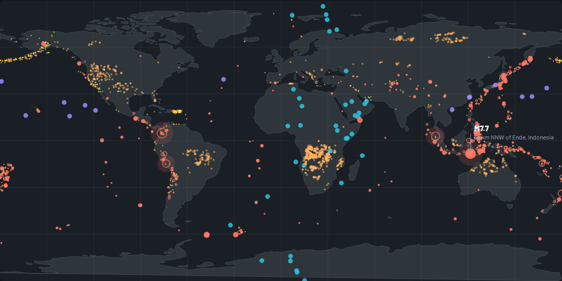
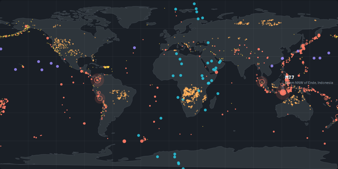
The rolling flagship's records: every M4.5+ earthquake of the trailing 30 days, refreshed from the warehouse — the one continuous surface on this platform, by ruling.
 Read it →
One planet, one month, one picture.
Plot it on any two axes.
The shape of the records.
Records by depth class
SOURCE · USGS FDSN (M4.5+, trailing 30 days) — the rolling flagship's own records · data cutoff rolling — trailing 30 days · counted from the records
How this hub was made.
USGS FDSN records, trailing 30 days, refreshed six-hourly. The tsunami flag is USGS's own per-event field — reporting zero flagged events is a finding, not a gap. Below M4.5 global catalog completeness is uneven; this hub's analytical floor is M4.5. Downloads are verification extracts, pointing back at the source that owns the records.
Every edition, dated.
- Edition 1 published 2026-08-27 · data cutoff rolling — trailing 30 days · first edition
A hub changes only as a new dated edition, on the institute's word — never on a schedule. Collection continues underneath; publication is deliberate.
Verify this hub.
Verification extracts — the working records with their receipts, attribution first, pointing at the origin. We never provide data; the source is the authority, this hub is the lens.
Cite this hub
GRIDINT Research (2026). World events data hub, edition 1 (data cutoff rolling — trailing 30 days). https://gridint.ai/data/world-events
@misc{gridint_world_events_2026,
  title = {World events data hub, edition 1},
  author = {{GRIDINT Research}},
  year = {2026},
  note = {Data cutoff rolling — trailing 30 days; source: USGS FDSN (M4.5+, trailing 30 days) — the rolling flagship's own records},
  url = {https://gridint.ai/data/world-events}
}
In pandas
import pandas as pd
D = pd.read_json("https://gridint.ai/demo/world-events/explorer-records.json")
records = pd.DataFrame(D["rows"].tolist(), columns=["mag", "depth_km", "lat", "lon", "depth_class", "tsunami_flag", "place", "time_utc_epoch_ms"])
The first row of that extract, as it stands: [4.5, 159, -22.66, -67.57, "Intermediate (70-300km)", "Not flagged", "70 km ENE of San Pedro de Atacama, Chile", 1788045977542] — the values are the receipt, whatever a column is called.